

SurveyorDroid

Description of SurveyorDroid
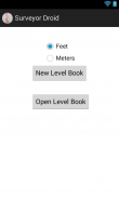
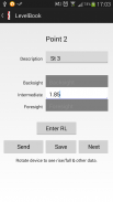
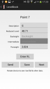
SurveyorDroid is an application for Civil Engineers and Surveyors that replaces a conventional Level Book. It provides users the ability to quickly enter site levels and automatically calculates rise/fall and reduced level, no more need for pen and paper!
SurveyorDroid also has the following features:
-Level books can be saved and sent via email as an excel file for review or accessed from a computer.
-Latitude and Longitude can be recorded for each reading.
-Data validation e.g. a backsight can't be entered until a foresight is first entered.
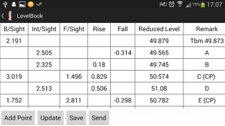
-Table view of rise/fall and reduced level, simply orientate your device to landscape. Details can also be entered in this view.
-Misclosure for closed loop levelling.
This application requires the following permissions:
-File storage in order to save and open stored level books.
-Precise GPS location to record Latitude and Longitude (turn GPS off if this is not required).
-Internet access to send level books.
Coming Features
-Two Peg Test
Please contact if there are any features you would like to see added.


